 |
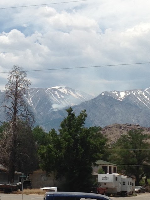
| (Smoke observed at approx. 12:40 pm, June 24, 2017...) |
x-ref: http://ktla.com/2017/06/23/130-foot-wide-military-spy-drone-crashes-in-sierra-nevada-prompting-small-wildfire/
Here are the photos I took just shy of both 1 pm and 2 pm.


Yikes!... slightly warm outside.....

*** Video Alert ! ***
Main Street, Lone Pine, Calif..... at 101 Degrees!
https://youtu.be/9-JWgQ-I5hs
The following additional photos of the DIAZ FIRE were taken at approx. 1:40 pm...


HOT or What?!...

Respectfully submitted,
Will Maguire,
Freedom395.blogspot.com
(All photos and video by & Copyright Will Maguire 2017.)
*** *** ***